TWO HIGH PASSES IN THE LAKE DISTRICT
TWO HIGH PASSES IN THE LAKE DISTRICT
JUNE 21, 2024
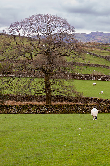
 A TRANQUIL LAKE DISTRICT SCENE - BUT WE ARE HEADING UP TO THOSE HILLS IN THE DISTANCE.
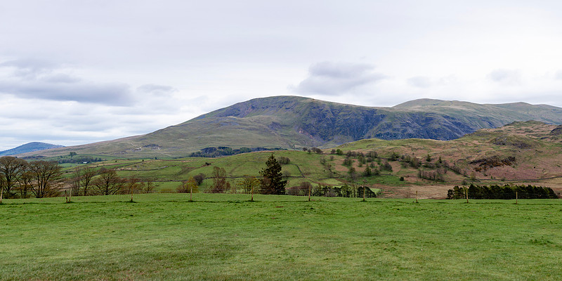 A PANORAMA THAT TAKES IN JUST A FEW LAKE DISTRICT FARMS BELOW THE MOUNTAINS
This week I would like to show you some images from an adventure Fran and I went on during our second day in the Lake District in Northern England. The Lake District is absolutely beautiful and has something for everyone, from luxurious resorts to picturesque villages to some serious hill walks and drives. We stayed for two nights and I don't think you could see most of it without staying at least a week. Fortunately we stayed in one of the quieter parts of the park in the few days before "the madness" as our innkeeper host put it was due to start - the day we left they were totally booked for the next four months.
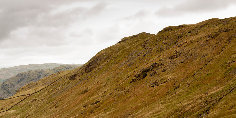 A SMALL PORTION OF THE HILLS SURROUNDING THE HONISTER PASS - THERE ARE HIKING PATHS ALL OVER THESE HILLS
Our adventure was based both on advanced research before the trip and our borrowed Ordinance Survey map that allowed us to actually find the route to the places that I had researched. This became our modus operandi for the rest of our stay in England and Scotland. My research before the trip was mostly concerned with finding places that were spectacular but off the beaten path - it is rumored that one quarter of the people in Great Britain visit the Lake District each year, so the obvious tourist attractions can be overwhelmed. What is actually wonderful about You Tube is that the same algorithm that can give you the creeps by responding to your every search can also lead you down rabbit holes to places and interests that you could never find on your own.
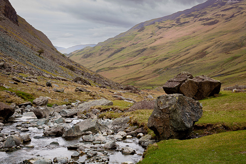 GATESGARTHDALE BECK IN THE MIDST OF THE HONISTER PASS
Our excursion was inspired, I kid you not, by an entire series of videos that chronicled the most picturesque and dangerous motorcycle rides in the Lake District. Armed with this somewhat obscure knowledge, and a willing driver in Fran who didn't seem to be phased by websites like "Dangerous
Roads" we set off to conquer a renowned route in our absolutely terrible rental car, a Peugeot that was so nervous that its warning beeps would go off if we so much as came within hailing distance of another car. Even though our goal was the Honister Pass, only about a half hour from our B&B, there was no way we could have come close without the Ordinance Survey map our innkeeper let us borrow that day.
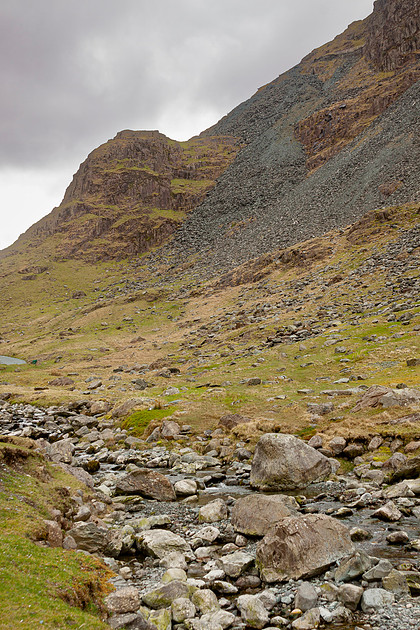 ANOTHER VIEW OF GATESGARTHDALE BECK, JUST OFF THE ROAD
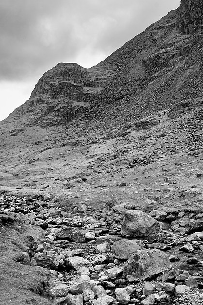 A BLACK AND WHITE VERSION - YOU LOSE THE COLOR CONTRAST, BUT IT ALLOWS FOR MORE DETAIL AND A DARKER MOOD
The Honister Pass is a small road that leads through a mountain pass. It has several stretches where the road's gradient exceeds 25 percent as it climbs to the summit at 1167 feet above sea level. Like a lot of places in England and Scotland, there is very little accommodation for safety - it is assumed that if you are game to be there, you are on your own. Most of the road is single track, with passing spaces that work very well if everyone knows the rules and there are no assholes about - good luck with that. We quickly got the feeling that when guardrails or even signs appeared at a curve, which seemed no worse than the one we had just confronted, it simply meant that someone had died on that curve, so they finally put up a sign. The road leads up to the last operating slate mine in England, which makes most of its money off the large car park that allows people to stop somewhere on the road. Here friendly hosts will sell you everything from slate coasters to house numbers to very beautiful tombstones if you so desire. After Fran and I were absolutely humbled by the "easiest hike" in the area -straight up a hill for 1200 feet with no switch backs - we went back to the car to complete our trip through the pass. The B5289 road parrallels a small river called the Gatesgarthdale Beck, which follows the Lake District naming rules by calling every geographic feature a name unknown anywhere else on Earth. Supposedly this is due to the long history and many successive conquests of the region - Romans, Picts, Vikings, among others - but I think it is mainly to just confuse the tourists. Thus a hill is a Fell, a valley is sometimes a Dale, a ridge is an Edge, a lake is a Water, and a waterfall can be a Force.
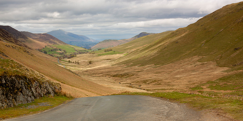
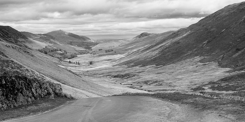 TWO VERSIONS OF A TYPICAL VIEW AT NEWLANDS PASS. THERE WAS SO LITTLE TRAFFIC THAT THERE WAS NO DANGER IN JUST STOPPING ON THE ROAD.
After successfully getting through Honister Pass, Fran was not in the mood to just double back along the same challenging route. This is where the OS Map came in handy, for I found another route home that promised less dangerous traffic than Honister Pass. Fran was suspicious but game, and we turned off the B5289 on to an "unclassified" road - oh boy - and followed that road up to Newlands Pass, at 1093 feet above sea level. Newlands Pass was even more spectacular than Honister, and almost no one was there, which made it much safer. These roads are so small that even though that even though we traveled for only 6.8 miles and stopped just once, it took most of the rest of the day to get back home.
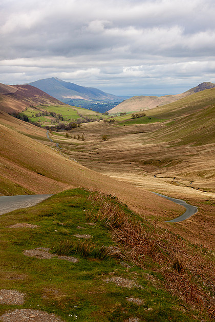 THERE MIGHT BE ONLY HALF A DOZEN FARMS ALONG THE ENTIRE ROAD
Our one stop was at Moss Beck Force, a quadrupel waterfall that spiraled down one of the mountains that surrounded the road. There were people hiking there, but I was perfectly content to just attempt to capture an image of the waterfall. Like several of the images I have showed you today, this was impossible without stitching multiple photos together on the computer. This technique can be magical, but also very frustrating since in this digital age it is rare that you do not know if you are successful until you get back home. Sometimes you only discover strange artifacts at 1:1 scale that you can overlook at smaller enlargements - and realize that you cannot correct these in post-processing. A panorama might work for the web, but will fall apart if you blow it up to the size that the file might easily support. So I have learned to be very modest in creating these panoramas, combining only several images instead of a dozen, and then almost always cropping them to 2:1 instead of the unreal results, which can sometimes be more than 4 times as wide as they are high.
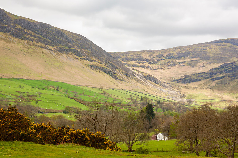 ONE OF THOSE FARMS - IT'S A LONG WAY TO TOWN
I hope that you have enjoyed these images, and encourage you to explore your intended travel goals both on the web and on a very detailed map. You might be very delighted and surprised at what these tools can allow you to discover on your journeys.
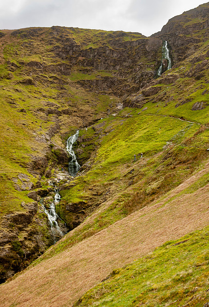 A STITCHED PANORAMA OF MOSS BECK FORCE , THE ONE REAL STOP ON THE ROAD
